SoloMapa · For consultants
Available nowSoloMapa is the precision agriculture platform for consultants, agronomists, and cooperatives. From a single place, you plan the sampling, integrate the lab, cross-reference satellite, climate, and 3D relief, receive automatic alerts, and generate variable-rate maps — all orchestrated by artificial intelligence.
Features
Eighteen technical capabilities organized into six fronts — from soil collection to business management, each step powered by artificial intelligence.
Block A
Every sampling point in the right place, automatically.
The field is subdivided into georeferenced hexagonal microcells. The platform generates sampling points by spatial clustering, adjusting their number to the area and chosen grid (0.5 ha, 1 ha, 2 ha…) and placing each point away from obstacles such as trees, rocks, and flooded areas.
Precision, Field Average, or Management Zones — you choose.
Three working modes per season plan: Precision Agriculture (one analysis per point, detailed variability maps), Field Average (a representative, economical diagnosis), and Management Zones (homogeneous regions drawn from satellite and relief). The same field evolves between models across seasons, without losing history.
The shortest path between all points, in the technician’s pocket.
Bio-inspired algorithms optimize the sampling route to cut travel and time in the field. The mobile app guides the technician point by point, with GPS confirmation and offline operation — syncing automatically as soon as there is connectivity.
Block B
Results that come in on their own, no typing.
Automatic import of reports, no manual entry and no lost spreadsheets. The system recognizes and maps each lab’s determinations — even with different headers and formats — and offers machine-to-machine (M2M) integration with end-to-end traceability of every sample.
Your team’s agronomic intelligence, standardized.
Automatic calculation of derived indices — CEC, base saturation, aluminum saturation, sum of bases, nutrient ratios. Interpretation ranges (Low / Adequate / High) are configurable by the agronomist and reusable across seasons, fields, and clients. Each consultancy builds its own technical standard once and applies it consistently.
From analysis to prescription, with grounding and history.
Support for building correction and fertilization recommendations tailored to each field or management zone, with technical grounding and season history always at hand. The result can be consolidated into a printed Recommendation Book — a cartographic report carrying your consultancy’s visual identity, ready to hand to the grower.
The right dose at each point of the field.
Prescription maps exported as shapefiles, compatible with farm machinery monitors. The variability diagnosed in the lab becomes localized input application — correcting what needs it, where it needs it, in the right measure.
Block C
In-field variability revealed from space, over time.
Sentinel-2 satellite imagery and multiple vegetation indices tracked across seasons. Historical series per microcell reveal each field’s internal variability, expose patterns that repeat every year, and provide an objective basis for delimiting management zones.
The field’s entire climate, from history to forecast.
Integrated weather history and forecast per field: temperature, rainfall, evapotranspiration, water balance, growing degree-days (GDD), and soil moisture at three depths. The consultant understands what the crop has already experienced and what lies ahead — without relying on a private weather station.
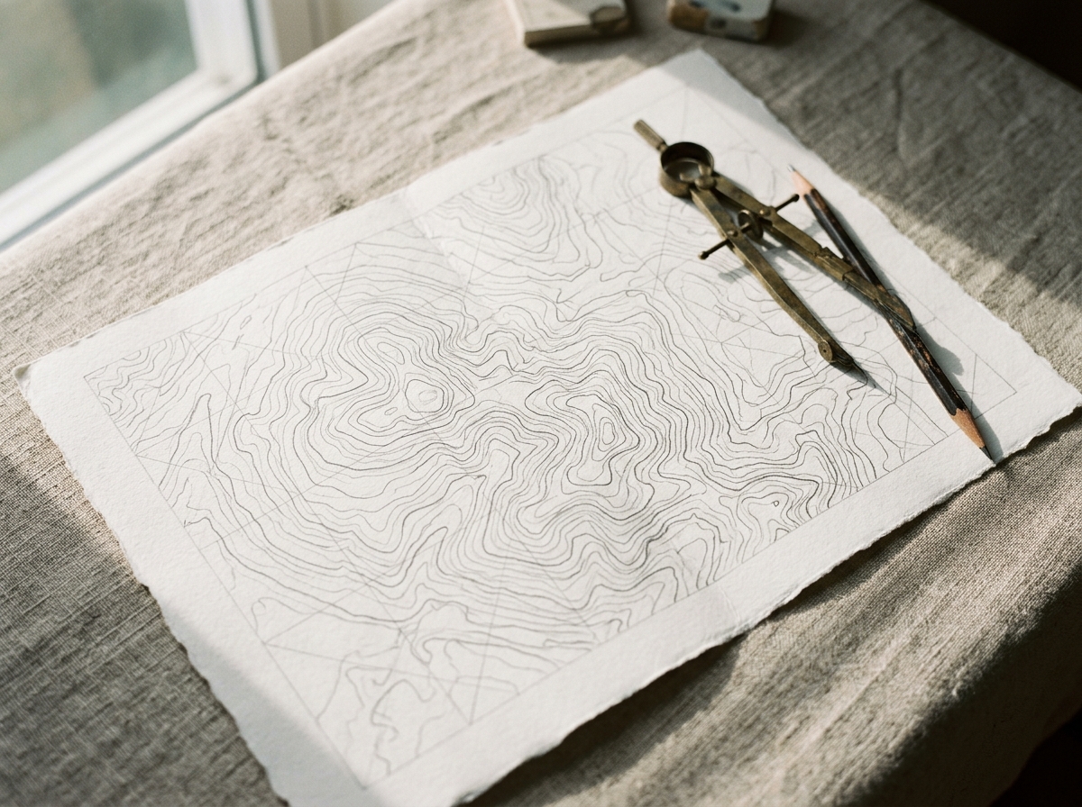
The terrain like you’ve never seen it — in three dimensions.
Relief derived from a digital elevation model — slope, curvature, aspect, water accumulation — incorporated into the diagnosis. The 3D view of the field lets you see the shape of the terrain and overlay indices and results on it, making the relationship between relief and fertility evident.
The answers hidden between the layers of your data.
It cross-references relief, satellite indices, and lab results cell by cell and answers, with statistical grounding, questions the agronomist already asks: where the terrain accumulates water, is calcium lower? It ships with agronomic hypotheses from the literature, tested automatically on your data — no statistics expertise required. Available in plans with Precision Agriculture.
Block D
The crop warns you when something is off — before you go to the field.
SoloMapa continuously monitors each field’s spectral indices and detects points where vegetation is significantly below expected, across consecutive captures. Once an anomaly is confirmed, you receive a phone alert — with field, location, and the problem’s evolution. A chance to act early, before losses spread.
Drought, heavy rain, frost — the warning arrives before the event.
Automatic monitoring of risk events for each field: drought, heavy rain, frost, heat waves, and more. Combining history and forecast, the system identifies critical conditions and triggers phone alerts with severity and the expected window — to anticipate decisions instead of reacting to damage.
Block E
Everything that happens in the field, tied to the season plan.
The agronomist spots a nematode patch, a planting failure, or a pest outbreak and logs it on the spot via the app: georeferenced photos, text or audio, GPS, and severity — even without signal. With connectivity, everything syncs and is filed at the exact point of the field. A visual, auditable, chronological history of each area.
Every observation on the map, every decision with proof.
All field evidence is positioned over the field map and organized by severity, creating an auditable trail of the conditions found and the decisions made. Ideal for building trust with the grower and for the technical defense of recommendations.
Block F
The entire crop cycle, organized and under control.
Crop cycle organized by property and field. A consolidated view of operations, services in progress, and the history of each area — from planning to sampling, from interpretation to recommendation. All connected, with no parallel spreadsheets.
Your whole operation on one screen, data-driven.
Sampling progress, services by stage, critical evidence, open alerts, and satellite-monitoring coverage. An executive view that turns the consultancy’s daily work into data-driven management — knowing where to act first, without digging for information.
A platform built for those who serve many growers.
Management of multiple organizations and teams with role-based access control, full data isolation between clients, and reports that carry your consultancy’s visual identity. Scale your service without losing technical standards or control.
How it works
Who it’s for
A multi-tenant, collaborative platform with role-based access control and data isolation between organizations — security and governance for operations of any scale.
Precision-agriculture companies serving multiple clients.
Cooperatives and agribusiness companies that deliver technical services.
Soil-management and soil-fertility professionals seeking technical grounding.
Producers seeking to optimize input use and increase productivity.
Let’s talk
Book a 30-minute demo. We’ll walk you through the platform with real data and answer your technical questions.